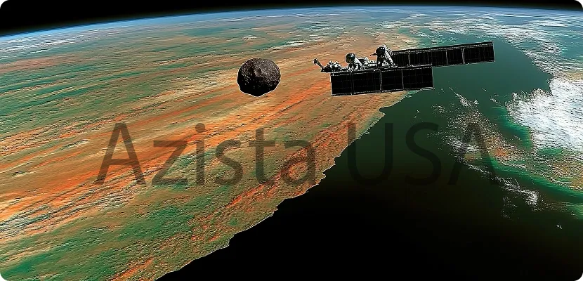
AI-Powered Satellite Intelligence & Geospatial Analytics

APRIL’s Cutting-Edge Products & Services
-
APRIL delivers next-generation space intelligence solutions through its powerful products and services
-
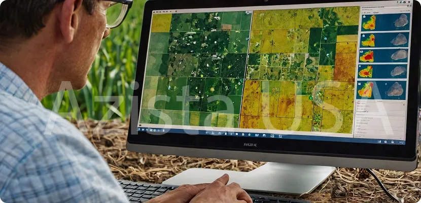
AFR Satellite and Image Analytics Software, enabling real-time geospatial data processing and insights.
-
Geo Intelligence Reports provide actionable intelligence for defense, agriculture, urban planning, and disaster management.
-
SCULPT, our proprietary satellite data processing service, ensures seamless data transformation into analytics-ready products. With expertise in image and signal processing.