


APRIL Image Analytics Software (AIAS)
Revolutionizing Satellite Image Processing and Analysis
APRIL Image Analytics Software (AIAS) is a sophisticated enterprise solution meticulously tailored to optimize and automate the entire image processing and analysis pipeline for remote sensing analysts. It is an end-to-end system encompassing everything from data preparation and deep learning model training to object detection and the generation of comprehensive analytical reports, ensuring you move from raw data to actionable intelligence faster than ever before.
The AIAS End-to-End Workflow
AIAS provides a robust library of pre-trained artificial intelligence models, alongside an intuitive workflow:
- Annotation: This module includes advanced tools for efficient labeling, categorization, auto annotation, data merging, and GIS functions to prepare your training data with precision.
- Model Builder: A user-friendly interface for constructing and refining intricate deep learning models, which facilitates precise data insights and predictions tailored to your specific monitoring requirements.
- Inference: This ensures seamless image inference, allowing you to effortlessly apply your refined models to new datasets and vast areas of interest.
- Report Generation: Customizable, template-based tools are used to instantly generate comprehensive reports. These reports contain detailed analytical data and findings based on user requirements.
Key Features & Technical Specifications
AIAS is built for high security and flexibility:
- Secure & Flexible Architecture: It operates on a client-server architecture with Role-Based Access and can be deployed as a completely offline and on-premise solution, guaranteeing 100% security.
- Standard Compliant: The software is OGC Standard Compliant for seamless integration into existing Geographic Information Systems (GIS) workflows.
- Advanced Tools: It includes AI-Powered Assistive Tools, embedded image processing techniques to enhance image quality, and the ability to Visualise Large Images without performance degradation.
- Workflow Automation: Users can achieve massive efficiency gains with automated training data preparation and high levels of automation in the annotation process.
AIAS in Action: Maritime Intelligence
AIAS is the core engine for all AFR data analysis, offering unparalleled capabilities for surveillance:
- Automated Ship Detection: AIAS provides AI-powered automated ship detection and classification over vast oceanic regions.
- Near Real-Time Intelligence: Its Batch Processing Mode enables rapid analysis of multiple frames, ensuring you receive maritime intelligence as quickly as possible.
- Data Output: It generates GIS-ready data, including GeoTIFF Images, Shapefiles, Metadata, and Auto-Generated Reports detailing ship locations, dimensions, and movement patterns.
- Speed: The system delivers a complete product, including image and report, with a turnaround time of less than 9 hours.
Download brochure for full processing levels and examples
More Products from Satellites
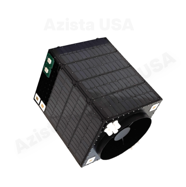
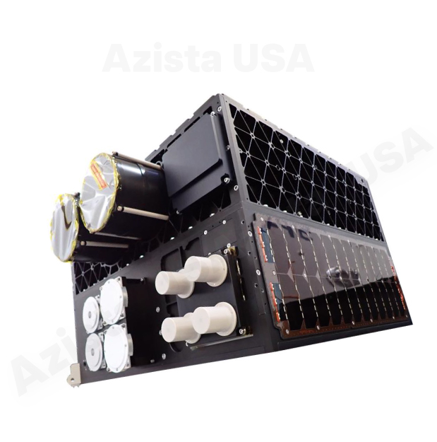
Satellite Buses
AFR Bus
It delivers high-quality, on-demand satellite imagery for diverse civilian and defense applications.