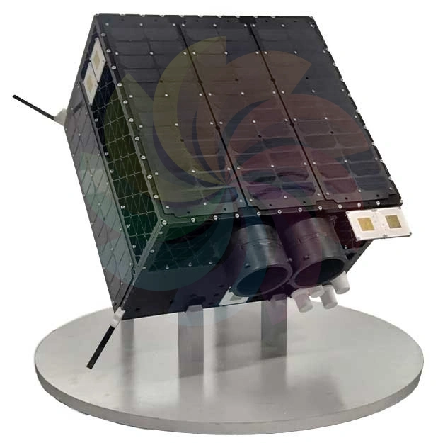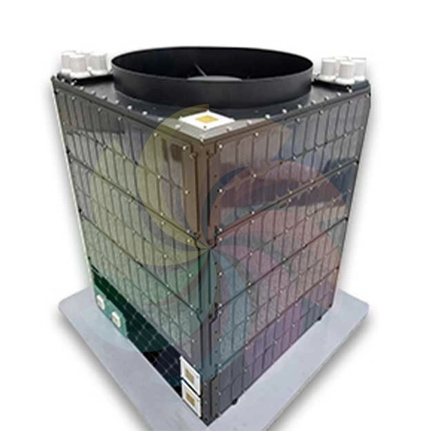

AFR Satellite Data & Intelligence Platform
Launch Date: June 13, 2023
Orbit: Sun-synchronous, 500 km
Platform: High-resolution multispectral satellite for advanced Earth observation and intelligence products
Core Naval Intelligence (Ocean Scanning)
- Massive Coverage: Naval Mode covers 6,000 km × 35 km in a single continuous pass.
- Resolution & Accuracy: 4.6 m GSD Panchromatic imagery with geometric accuracy < 2 km over open ocean.
- AI-Powered Detection: APRIL Image Analytics Software (AIAS) automates vessel detection and classification, generating comprehensive reports.
- Efficiency: Turnaround time < 9 hours for complete product delivery (image, report, quality check).
- Data Delivery: GIS-ready outputs including GeoTIFF images, shapefiles, metadata, and Cloud Cover Prediction for intelligent tasking.
Extended Intelligence Modes
Night-Time Optical Imaging
- 24×7 imaging using high-gain electronics & TDI, amplifying signal up to 50×.
- Enables clear low-light imaging for security and disaster response.
Dynamic Activity (Short Video)
- Captures 3–4 minute short videos at 1 frame/sec.
- Monitors dynamic events such as aircraft take-offs or vehicle movements.
- Achieved via satellite steering and continuous imagery capture.
For more information, Please download the Broucher